
Պատկեր:Blank map of the world (Robinson projection) (10E).svg

Size of this PNG preview of this SVG file: 800 × 413 կէտիկ. Այլ չափեր: 320 × 165 կէտիկ | 640 × 330 կէտիկ | 1024 × 529 կէտիկ | 1280 × 661 կէտիկ | 2560 × 1321 կէտիկ | 3100 × 1600 կէտիկ.
Սկզբնական նիշք (SVG նիշք, անուանապէս 3100 × 1600 կէտիկ, նիշքի չափը՝ 1,33 ՄԲ)
_(10E).svg)

|
Այս ֆայլը փոխարինված է եղել ուրիշ ֆայլով File:BlankMap-World.svg: Հանձնարարվում է օգտագործել ուրիշ մեկնակերպը: Причина: Due to a lot of finer detail being regularly updated, it is recommended to use the original file. If a colored version is indeed needed, please take your time update this file from the latest version of the original – it is a fairly trivial exercise that can be done in a couple minutes using a text editor.
|
Ամփոփում
| Նկարագրութիւն |
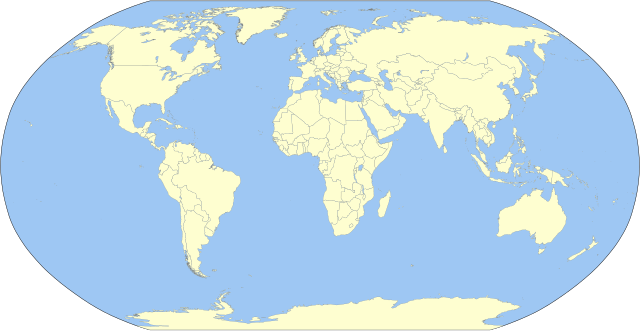
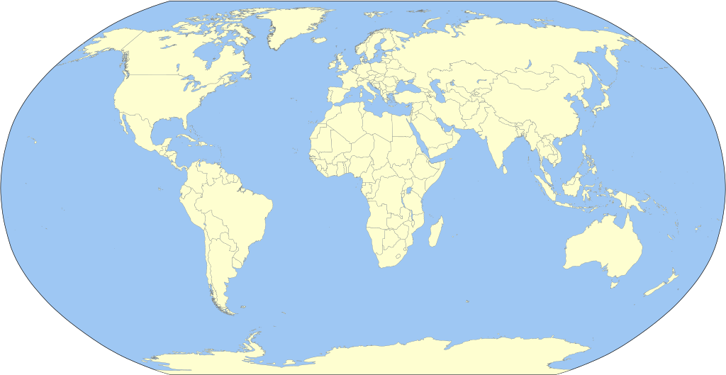
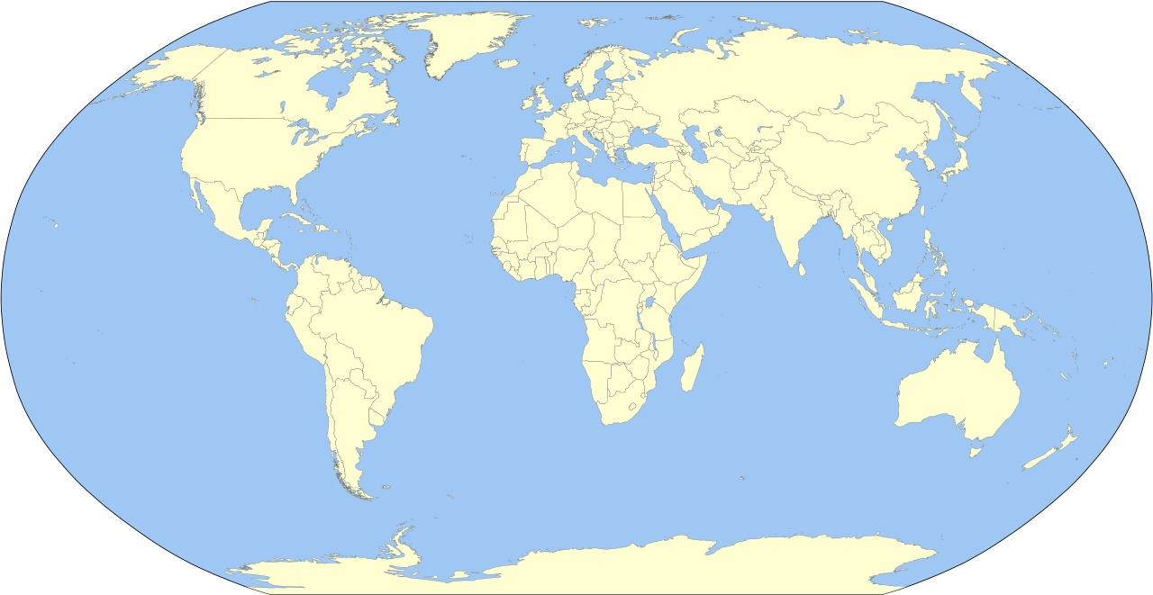
English: A detailed Robinson-projection SVG blank political map with grouping enabled to connect all non-contiguous parts of a country's territory for easy colouring. Smaller countries can also be represented by larger circles to show their data easier. A thorough description of use and other instructions relating to can be found on the instruction page. |
||
| Թուական | |||
| Աղբիւր | Own work based on: BlankMap-World.svg by Canuckguy | ||
| Հեղինակ | Milenioscuro | ||
| Այլ մեկնակերպներ | Derivative works of this file: Corrientes-oceanicas.svg | ||
| SVG genesis | Սա վեկտոր գրաֆիկական պատկեր է ստեղծված է եղել Inkscape օգնությամբ: .
|
Արտօնագրում
Ես, սույն աշխատանքի հեղինակային իրավունքների տերը, այսուհետ այն հրատարակում եմ հետևյալ արտոնագրի ներքո։
| I, the copyright holder of this work, release this work into the public domain. This applies worldwide. In some countries this may not be legally possible; if so: I grant anyone the right to use this work for any purpose, without any conditions, unless such conditions are required by law. |
Original upload log
This image is a derivative work of the following images:
- BlankMap-World.svg licensed with PD-self
Uploaded with derivativeFX
Նիշքի պատմութիւն
Սեղմել օրուան/ժամին վրայ նիշքի այդ պահուն ունեցած վիճակը տեսնելու համար
| Օր/Ժամ | Մանրապատկեր | Ծաւալ | Գործածող | Մեկնաբանութիւն | |
|---|---|---|---|---|---|
| ընթացիկ | 23:10, 2 Հոկտեմբեր 2023 | | 3100 × 1600 (1,33 ՄԲ) | Milenioscuro | Reverted to version as of 03:06, 7 March 2015 (UTC) |
| 08:47, 1 Հոկտեմբեր 2023 |  | 3100 × 1600 (1,35 ՄԲ) | Caawiyahaderon | https://www.thehindu.com/news/international/pro-somalia-militia-takes-key-army-base-in-breakaway-region/article67238670.ece | |
| 03:06, 7 Մարտ 2015 |  | 3100 × 1600 (1,33 ՄԲ) | Milenioscuro | new color scheme | |
| 19:08, 29 Նոյեմբեր 2014 |  | 3100 × 1600 (2 ՄԲ) | David1010 | new | |
| 15:16, 9 Հոկտեմբեր 2012 |  | 3100 × 1600 (1,99 ՄԲ) | Milenioscuro | + Puerto Rico | |
| 04:18, 16 Մայիս 2011 |  | 3100 × 1600 (1,99 ՄԲ) | Milenioscuro | {{Information |Description={{en|1=A detailed Robinson-projection SVG map with grouping enabled to connect all non-contiguous parts of a country's territory for easy colouring. Smaller countries can also be represented by larger circles to sho |
Նիշքի գործածութիւն
Հետեւեալ էջը կը յղուի այս նիշքին՝
Նիշքի համընդհանուր օգտագործում
Հետեւեալ ուիքիները եւս կ'օգտագործեն այս նիշքը՝
- Օգտագործումը ast.wikipedia.org կայքին վրայ
- Օգտագործումը az.wikipedia.org կայքին վրայ
- Օգտագործումը ba.wikipedia.org կայքին վրայ
- Օգտագործումը be.wikipedia.org կայքին վրայ
- Օգտագործումը bg.wikipedia.org կայքին վրայ
- Օգտագործումը ca.wikipedia.org կայքին վրայ
- Օգտագործումը cs.wikipedia.org կայքին վրայ
- Օգտագործումը dag.wikipedia.org կայքին վրայ
- Օգտագործումը da.wikipedia.org կայքին վրայ
- Օգտագործումը en.wikipedia.org կայքին վրայ
- User:Acad Ronin
- User:Tcr25
- User:Bduke
- Wikipedia:Userboxes/Interests
- User:Arkiedragon
- User:Xgravity23
- User:Adamw1993
- User:Svaksha
- User:Goldsztajn
- User:Dcmacnut
- Wikipedia:Userboxes/Travel
- User:Paperworkorange
- User:Anas1712
- User:Alfie66
- Talk:Dependent territory/Archive 1
- User:Stefán Örvar Sigmundsson
- User:Arkenstrone
- User:The Emperor of Byzantium
- User:Arkiedragon/userboxes
- User:Muzilon
- User:Byrappa
- User:EdJF
- User:RubenSchade/Userboxes
- User:Duke of Geography
- User:Drdpw
- User:Rtucker913/userboxes
- User:Greatuser/userboxes
- User:Greatuser/Userboxes/countries visited
- User:Greatuser/Userboxes/countries visited/doc
- User:Guillermofdezg
- User:Liberty Pedia
- User:Gray Catbird
- Wikipedia:Userboxes/Interests/05
- User:Farmboybello
Տեսնել այս նիշքի աւելի համընդհանուր օգտագործումը:
_(10E).svg)
_(10E).svg)