
Պատկեր:1593 Germania Inferior de Jode.jpg
Աւելի բարձր կէտաչափով տարբերակ չկայ։
1593_Germania_Inferior_de_Jode.jpg (750 × 595 կէտիկներ, նիշքի չափը՝ 280 ԿԲ, MIME-տեսակը՝ image/jpeg)
Ամփոփում
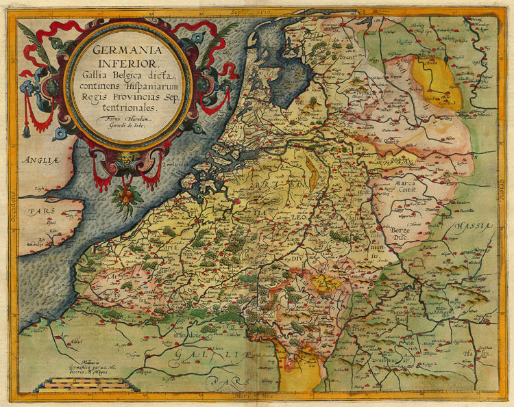
| Նկարագրութիւն | Map of the Netherlands; title:Germania Inferior. Gallia Belgica Dicta etc; size: 34,5 x 43,5 cm |
| Թուական | |
| Աղբիւր | http://www.sanderusmaps.com |
| Հեղինակ | Jode, Cornelis de |
| Այլ մեկնակերպներ |

Արտօնագրում
|
This work is in the public domain in its country of origin and other countries and areas where the copyright term is the author's life plus 100 years or fewer. | |
| This file has been identified as being free of known restrictions under copyright law, including all related and neighboring rights. | |
Նիշքի պատմութիւն
Սեղմել օրուան/ժամին վրայ նիշքի այդ պահուն ունեցած վիճակը տեսնելու համար
| Օր/Ժամ | Մանրապատկեր | Ծաւալ | Գործածող | Մեկնաբանութիւն | |
|---|---|---|---|---|---|
| ընթացիկ | 22:45, 19 Նոյեմբեր 2007 | | 750 × 595 (280 ԿԲ) | Joopr | {{Information |Description=Map of the Netherlands; title:Germania Inferior. Gallia Belgica Dicta etc; size: 34,5 x 43,5 cm |Source=http://www.sanderusmaps.com |Date=1593 |Author=Jode, Cornelis |Permission= |other_versions= }} |
Նիշքի գործածութիւն
Հետեւեալ էջը կը յղուի այս նիշքին՝
Նիշքի համընդհանուր օգտագործում
Հետեւեալ ուիքիները եւս կ'օգտագործեն այս նիշքը՝
- Օգտագործումը en.wikipedia.org կայքին վրայ
- Օգտագործումը fr.wikipedia.org կայքին վրայ
- Օգտագործումը ga.wikipedia.org կայքին վրայ
- Օգտագործումը hy.wikipedia.org կայքին վրայ
- Օգտագործումը nl.wikipedia.org կայքին վրայ
- Օգտագործումը ru.wikipedia.org կայքին վրայ