
Պատկեր:Pontic caspian blank map.png
Կանխաստուգման չափը՝ 757 × 600 կէտիկ։ Այլ չափեր: 303 × 240 կէտիկ | 606 × 480 կէտիկ | 970 × 768 կէտիկ | 1192 × 944 կէտիկ.
Սկզբնական նիշք (1192 × 944 կէտիկներ, նիշքի չափը՝ 186 ԿԲ, MIME-տեսակը՝ image/png)
Ամփոփում
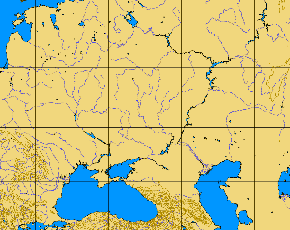
| Նկարագրութիւն | blank map of the Pontic-Caspian steppes, 40-60 N, 20-60 E |
| Աղբիւր | http://www.aquarius.geomar.de/omc/make_map.html |
| Հեղինակ |
Արտօնագրում
| This image is from Planiglobe. All maps hosted on Planiglobe are licensed under the Creative Commons Attribution 2.5 License, but Planiglobe suggests that they not be used for navigational purposes. For the purposes of this license, this clause is considered a disclaimer and not a license restriction. This file is licensed under the Creative Commons Attribution 2.5 Generic license.
|
Նիշքի պատմութիւն
Սեղմել օրուան/ժամին վրայ նիշքի այդ պահուն ունեցած վիճակը տեսնելու համար
| Օր/Ժամ | Մանրապատկեր | Ծաւալ | Գործածող | Մեկնաբանութիւն | |
|---|---|---|---|---|---|
| ընթացիկ | 07:35, 11 Օգոստոս 2005 | | 1192 × 944 (186 ԿԲ) | Dbachmann | blank map of the Pontic-Caspian steppes, 40-60 N, 20-60 E http://www.aquarius.geomar.de/omc/make_map.html {{PD}} |
Նիշքի գործածութիւն
Այս նիշքին յղուող էջեր չկան։
Նիշքի համընդհանուր օգտագործում
Հետեւեալ ուիքիները եւս կ'օգտագործեն այս նիշքը՝
- Օգտագործումը en.wikipedia.org կայքին վրայ